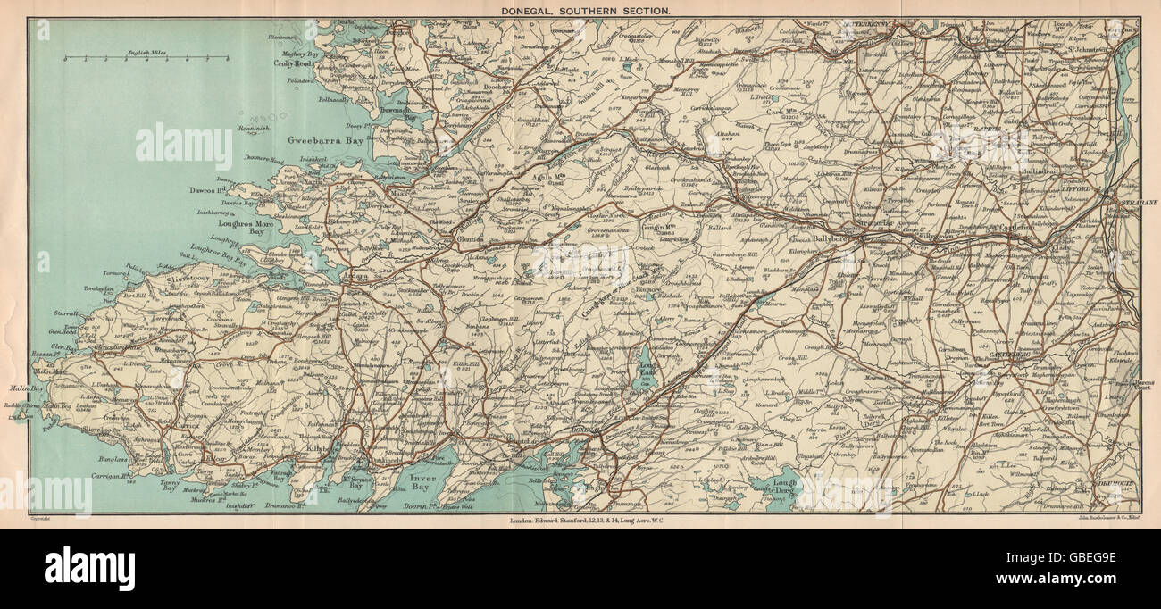
DONEGAL: Southern Section. Strabane Castlederg. Ireland. STANFORD, 1908 map
RFID:Image ID:GBEG9E
Image details
Contributor:
Antiqua Print Gallery / Alamy Stock PhotoImage ID:
GBEG9EFile size:
24.3 MB (2.3 MB Compressed download)Releases:
Model - no | Property - noDo I need a release?Dimensions:
4321 x 1969 px | 36.6 x 16.7 cm | 14.4 x 6.6 inches | 300dpiDate taken:
1908Location:
IrelandMore information:
This image could have imperfections as it’s either historical or reportage.
'Donegal, Southern Section'. Artist/engraver/cartographer: Edward Stanford. Provenance: "Handbook for Travellers in Ireland"; Edited by John Cooke, Published by Edward Stanford, London: 7th Edition. Type: Antique colour map.