L8180 : Knocknashee, Louisburgh
taken 8 years ago, near to Louisburgh, Co Mayo, Ireland
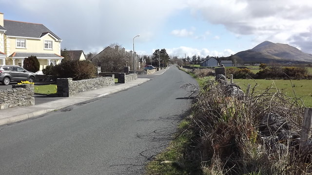
Knocknashee, Louisburgh
This is the continuation of Chapel St eastwards from the town centre
![Creative Commons Licence [Some Rights Reserved]](https://s1.geograph.org.uk/img/somerights20.gif)
|
· Find out How to reuse this image ·
Share:
|
|||||
| Start a discussion on L8180 | Suggest an update to this image | Contact the contributor | |||
Loading map... (JavaScript required)
- Grid Square
- L8180, 3 images (more nearby
 )
)
- Photographer
- John Welford (find more nearby)
- Date Taken
- Monday, 28 March, 2016 (more nearby)
- Submitted
- Monday, 4 April, 2016
- Geographical Context
- Primary Subject of Photo
- Subject Location
-
Irish:
 L 815 808 [100m precision]
WGS84: 53:45.8134N 9:47.8419W - Camera Location
-
Irish: L 811 807
- View Direction
- EAST (about 90 degrees)
Image classification(about):
Geograph (Second Visitor for L8180)
This page has been viewed about 49 times.
View this location:
KML (Google Earth) ·
Google Maps ·
Bing Maps ·
Geograph Coverage Map ·
More Links for this image
·
Bing Maps ·
Geograph Coverage Map ·
More Links for this image