Omey Island and the Sky Road
28 Spetember 2018
Right near the Clifden Castle, Sky Road splits into two sections – Sky Road and Lower Sky Road. We’ve only been up to the lookout point on the main upper part, so at the split today we decided to drive the lower. Figured it would get us a bit closer to the sea. The road was full of hills and turns as it made its wild path along the sea, and we followed behind a couple of motorcycles who were surely having a great ride out there! We eventually climbed our way back up the rocky coastline and merged back in with the main part of Sky Road and continued around the peninsula. The way back along the other side was smoother and straighter, but the scenery over the fjord was just majestic!
We merged onto N59 then right back on a small, seemingly unnamed road to head along the peninsula on the other side of the fjord. We cruised along the road and enjoyed the scenery as we made our way toward Omey Island.
Looking at the map, there seemed to be a road from the mainland out to Omey Island. Maybe this was actually a ferry though, because there was no road really showing, just water and the white line on the map showing a road that way. Had to be a ferry, they wouldn’t put a tunnel at such a small island. When we finally got to Omey Island, we found it wasn’t a road, or a ferry, or a tunnel. It was better!
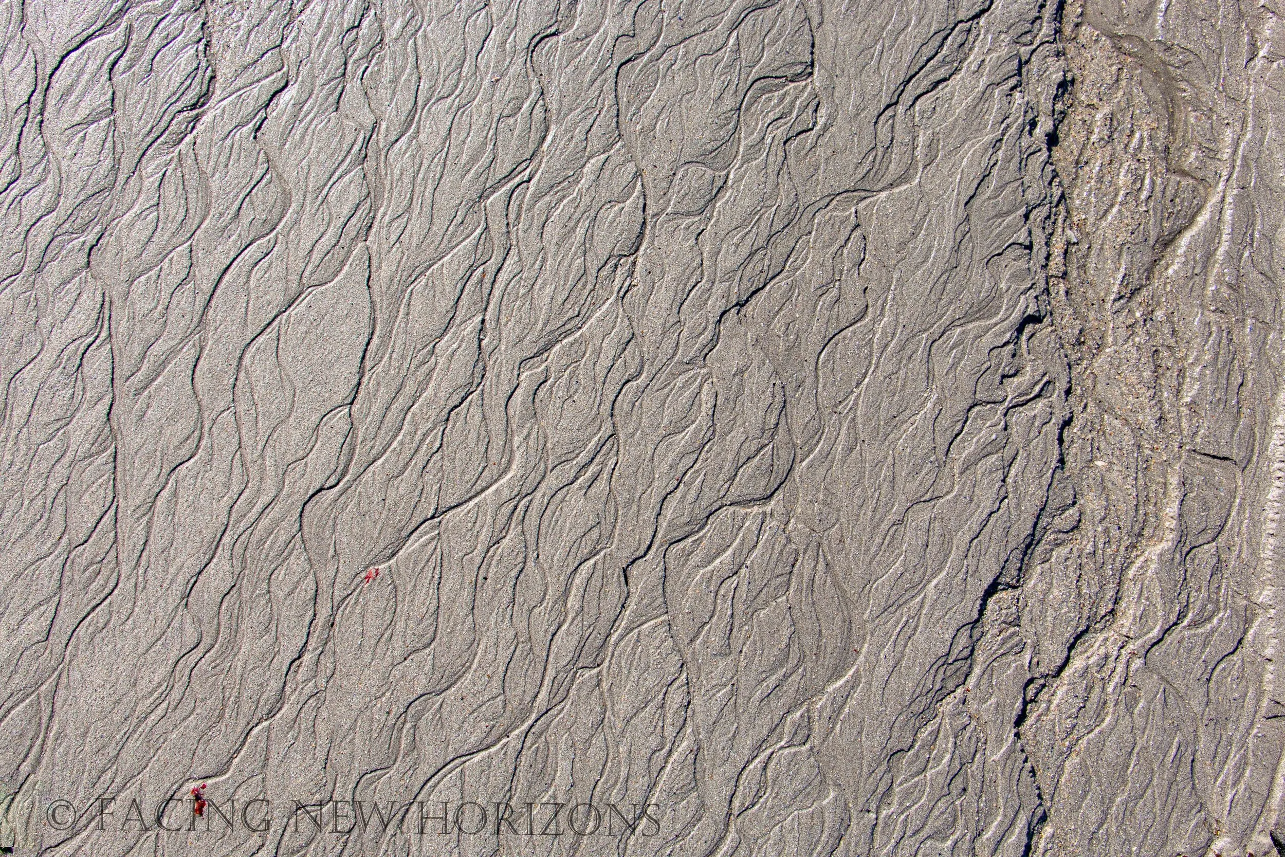
When the tide goes out, the sand is packed dense enough to support a car, so you can drive along the bottom of the bay from the mainland out to the island!!!
We looked it over and waited to see if another car would make the trip. We were just in a little Ford Fiesta and thought that maybe a 4WD was needed, even though nothing said as much. After we watched one go, we checked the tide table, found we still had time, and got in the car.
Time to drive across the bottom of the sea!!
We drove down what looked like a boat launching ramp from the mainland to the sand. There were signs marking the way to the island, and we were assuming that veering too far from this path may get you stuck in the sand. It was pretty well packed where we were driving, though we did have to zig-zag our way around some puddles. After a bumpy ride across the seabed we eventually came up on the ramp up to Omey Island!
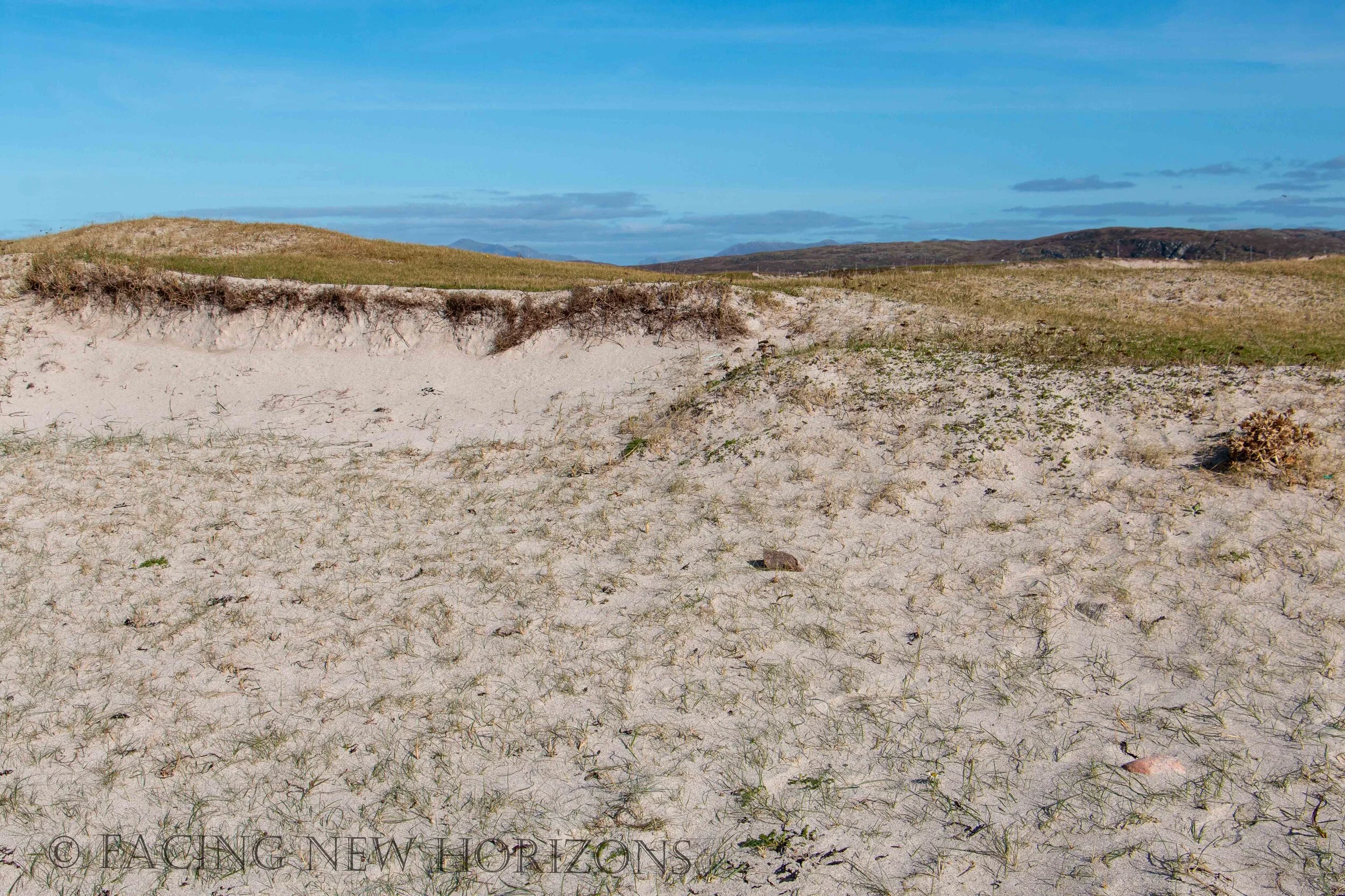
The island was small, with an exceptionally narrow road even for Irish standards. We sure hoped that a car wasn’t coming the other way! At the end of the road we came to a little natural beach, like many we have seen so far on this trip, but with the added story of how we got there! Even though we read the tide tables before we set out across the sand, we still had a bit of nervousness about making sure we were back before the tide came in. We spent a bit of time on the beach then made our way back to the ramp. We picked up a French traveler who was about to walk back across the bay, and ventured over the sand back to the mainland. What a ride!
Back on the mainland, we continued around the unnamed road toward the little fishing village of Cleggan. The scenery over the fjord was nice for sure, and we stopped for a bit to take it in... but we were here for some seafood! Right on the pier we found Oliver’s Seafood Bar, and with a name like that it should be exactly what we wanted. Tender crab claws in garlic butter, rich seafood stew, and a pint of O’hara’s was the perfect way to finish out our time on the Galway Atlantic Coast!