A straightforward but spectacular walk along Scotland’s great fault line
At first, the cuckoo was maddening. I was just a day into the Great Glen Way and its woody call was sounding relentlessly through the valley. When the miles passed and the sound continued to follow me, I wondered if, in fact, it was me who was cuckoo. Where on earth is it? Was there more than one? Do cuckoos even live in this country or am I hearing things? Was it…trying to tell me something?
Having spent the previous days battling Skye’s formidable Trotternish Ridge by myself in the most atrocious conditions, there was a good chance I’d lost my mind. But the cuckoo was not a delusion. It just so happened that, for the short time the bird spends in the Great Glen before heading back to its home in the Congo forests, I was there too.
According to the British Trust for Ornithology, the UK cuckoo population has decreased by 65 per cent in the last four decades. So I can probably forgive myself for not knowing anything about them. But I came to love it; I heard it every day, and it formed part of the trail’s soundscape – comforting and constant.
Comforting and constant was exactly what I needed. When I decided to walk the Great Glen Way, I was sheltering from appalling weather in my tent at Portree campsite. I’d set off on the Skye Trail, but ferocious winds, saturating rain and near-zero visibility had put an end to that. I needed something gentle – a sheltered trail on which I could plod along without feeling overwhelmingly like I might die. I wanted nice scenery, people to stop and chat to, and the odd packet of Kettle Chips washed down with a pint. The GGW, which had never seemed enticing enough before, fitted that bill.
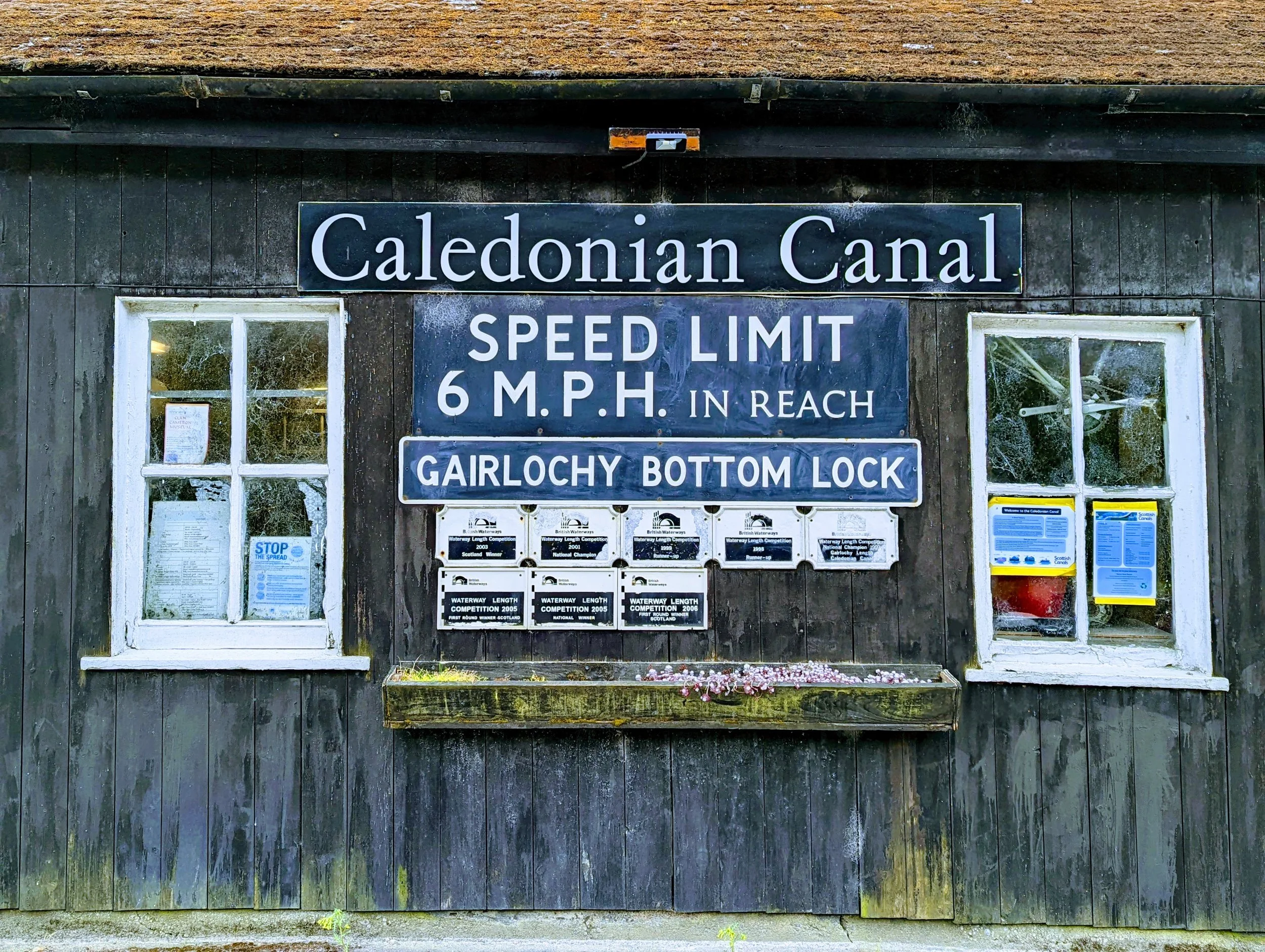
Gairlochy, the first set of lock gates after leaving Banavie
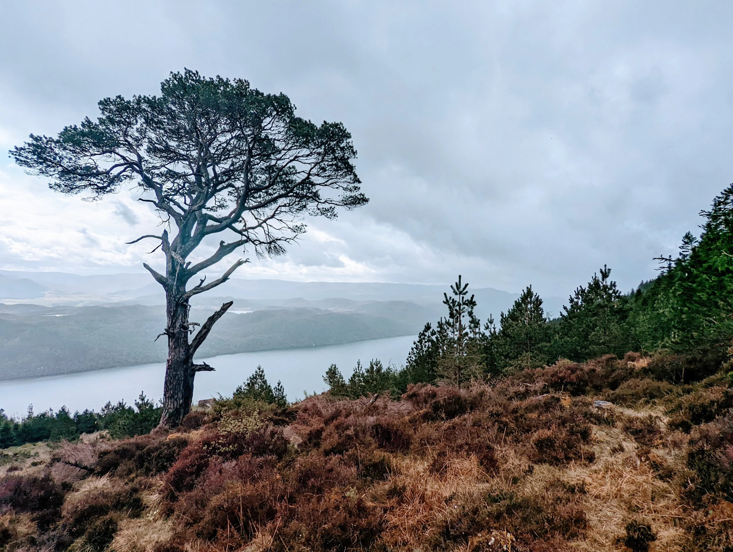
The trail starts at Fort William and traces the Great Glen fault line, following the waterways of the Caledonian Canal and lochs Lochy, Oich and Ness. (Incidentally, it was officially opened in 2002 by Prince Andrew, an unappealing connection if ever there was one.) I had limited time, so I planned to start at Banavie locks in Fort William a few miles into the trail – apparently the first bit isn’t up to much anyway – and end in Drumnadrochit. An easy 45 miles in total, over four days.
Running parallel to the GGW is the Great Glen Canoe Trail, and for hikers who like home comforts this is good news. Dotted along the route there are designated ‘wild camping’ grounds, drinking water taps, compost loos and, if you pay a tenner to rent a key, showers and laundry facilities at most of the lock gates.
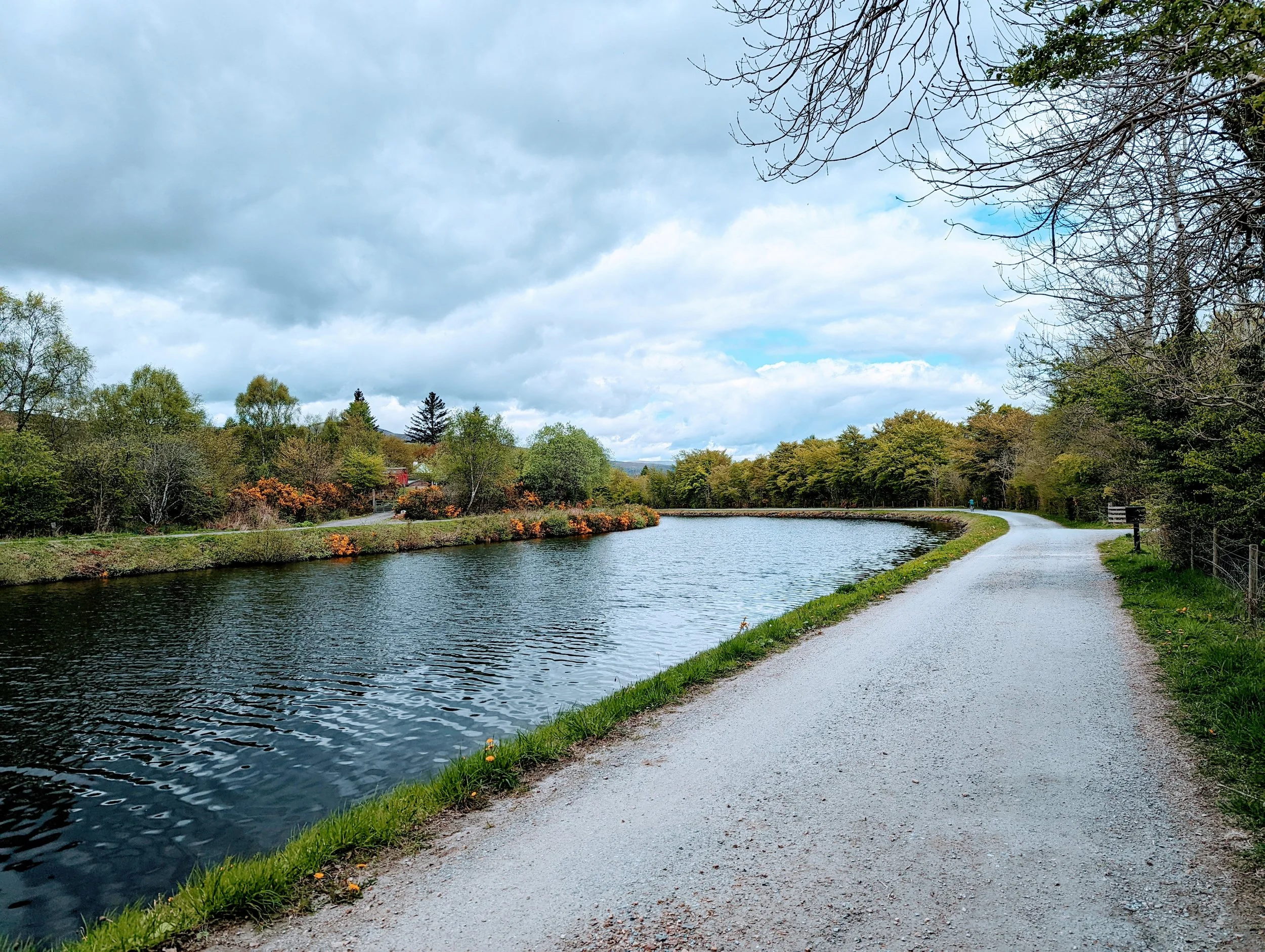
Stage one, from Banavie to Gairlochy, follows the 10 miles on the towpath alongside the Caledonian Canal. On the spring day I set off, it was exceptionally pretty. The sun was out, the air was rich with the scent of sweet pine and coconutty gorse, and bees and butterflies were out in force – an assault on the senses that starkly contrasted the inhospitable wilderness I had come from. After a few hours the towpath became a little monotonous, but it wasn’t long before I reached the wilder, more expansive scenery of Loch Lochy. Almost immediately the path led me to a secluded beach where an enchanting old boat wreckage had made itself a permanent feature, its hull long buried in the sand. The perfect spot for a tea break.
The gorse out in force along the towpath between Banavie and Gairlochy
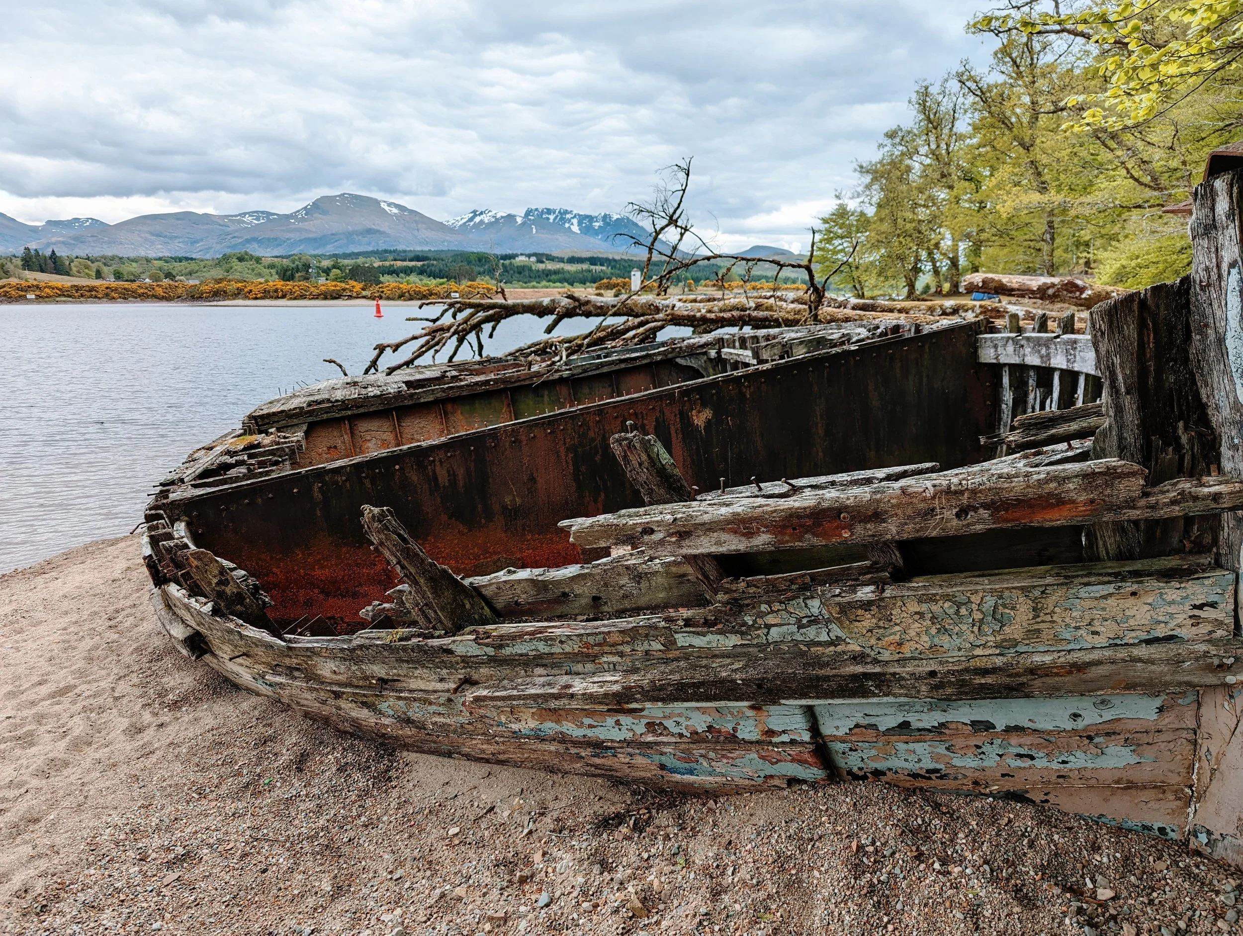
A boatwreck on the south-west shore of Loch Lochy
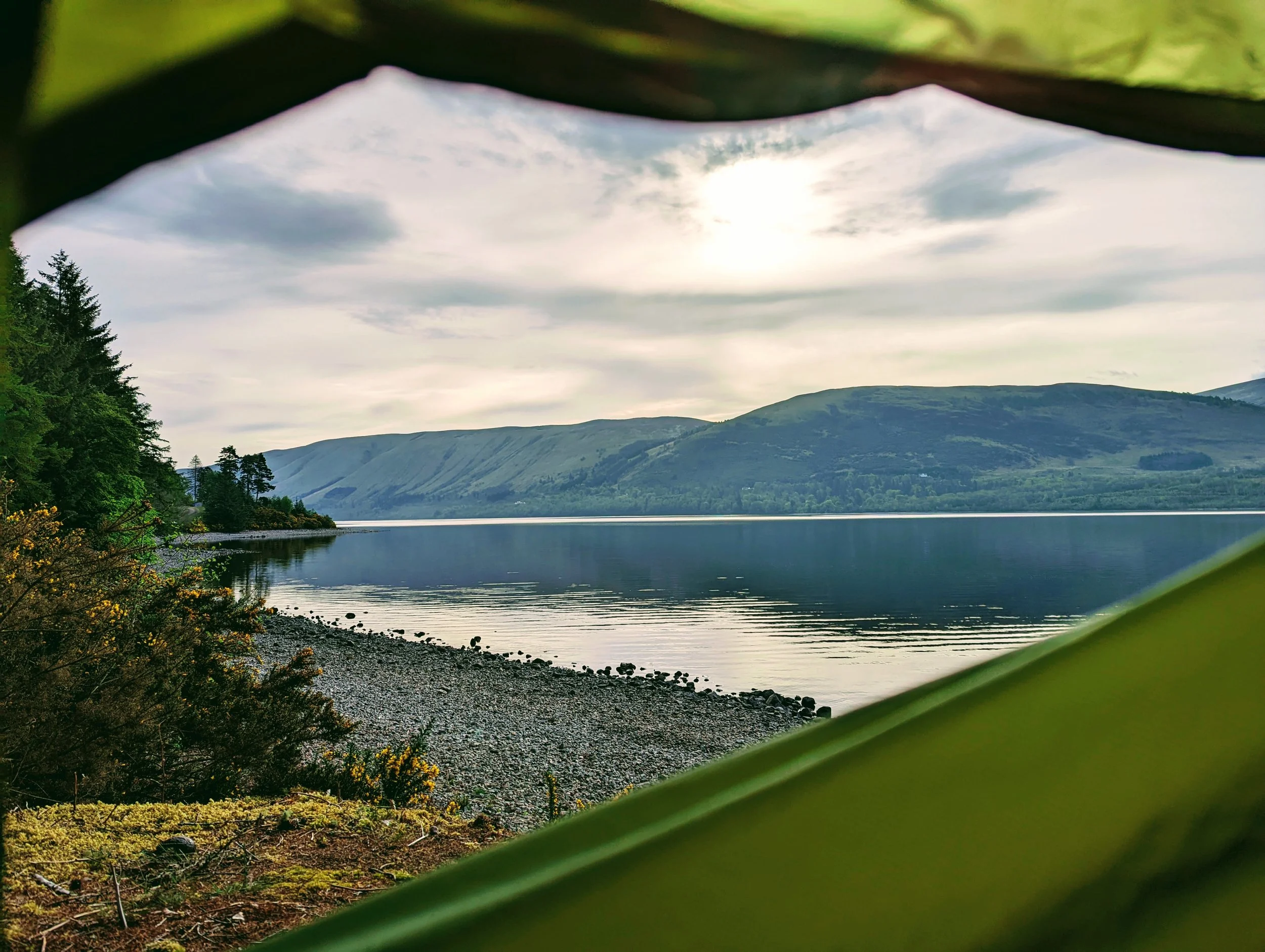
That night I pitched my tent at Clunes and sat round the fire with some intrepid mountain bikers, who had come to spend the last night of their trip on this spectacular beach with views across to Ben Nevis. We shared stories, ate dinner and drank whisky until the flames fizzled out. The next morning I spent a glorious few hours by myself, taking a chilly dip in the loch and drinking coffee to warm up. I decided then that this is what it’s all about. My love of long-distance trails is based not on conquering summits nor chasing miles over tricky terrain, but on these joyful moments of peace and solitude.
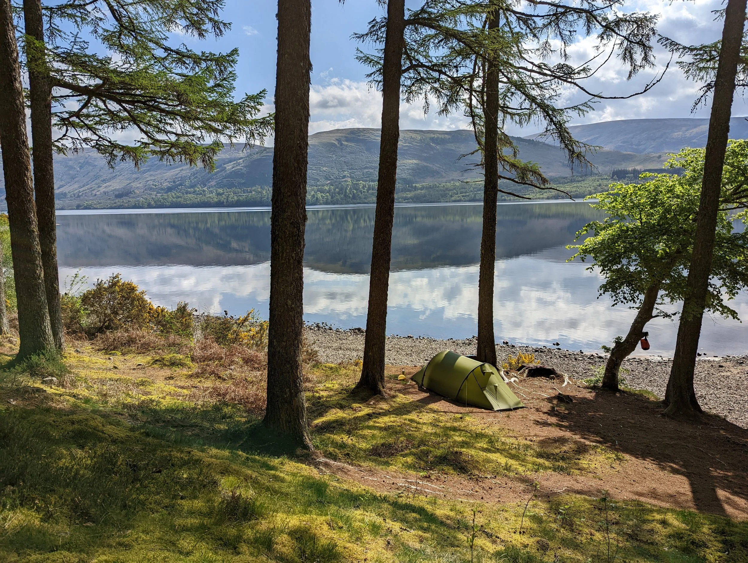
A perfect pitch at Clunes, with views across to the Nevis range
The plan from there was to walk seven miles to Laggan in the morning and fill my boots with lunch at The Barge Inn – one of the few pubs along the route – rather than eat into my emergency supplies. But it wasn’t to be, and I was forced to sit outside on a picnic bench, staring at the swinging Closed sign as I ate a Cup-a-Soup, a fig roll and a handful of peanuts. This had been my only option for a proper meal today. Perhaps I’d try to make it to Fort Augustus that evening – 10 miles away – to stock up on much-needed supplies.
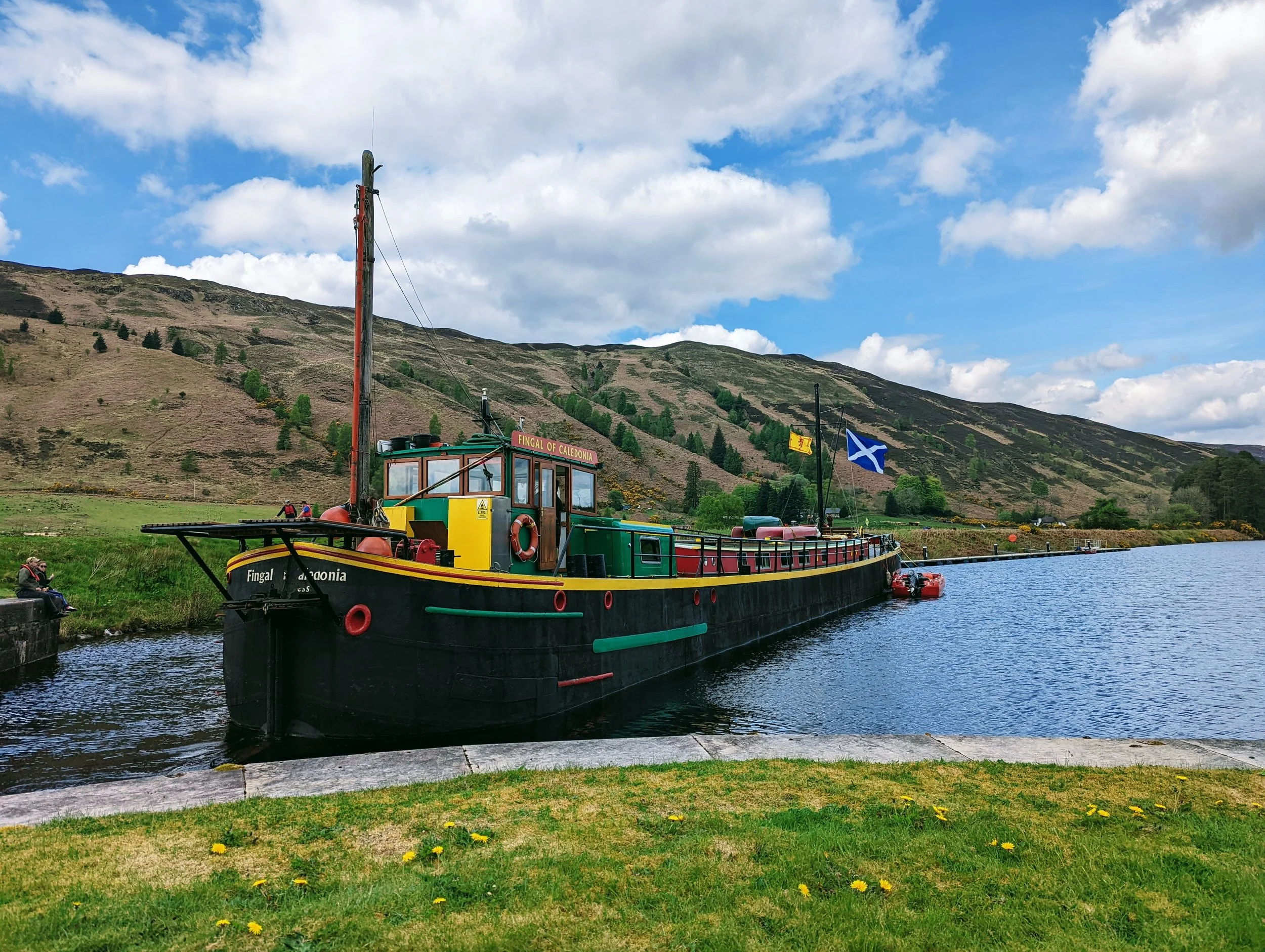
A cruise barge at Laggan
From Laggan, I rejoined the canal and eventually came to the southern shoreline of Loch Oich, where the route follows the old railway line that once connected Spean Bridge to Fort Augustus. It closed to passengers in 1933 after multiple landslides and poor usage, but some of the tracks and the old Invergarry station, where there is a small visitor centre, have since been restored.
Around three miles along the loch, I came across Leiterfearn, one of the free Trailbrazer camping grounds aimed at canoeists. It’s a pretty big, flat grassy meadow, with a stream and a couple of composting loos next to a dilapidated cottage. It was only 4pm but there was nobody around, so I pitched my tent to take advantage of the warm afternoon, abandoning plans to plough on to Fort Augustus. I’d forgo breakfast and survive on my remaining peanuts for this. So, with the late afternoon sun on my face, I lazed around reading my book to the sound of the now-familiar cuckoo cooing in the hillside and the peaty waves lapping the shore.
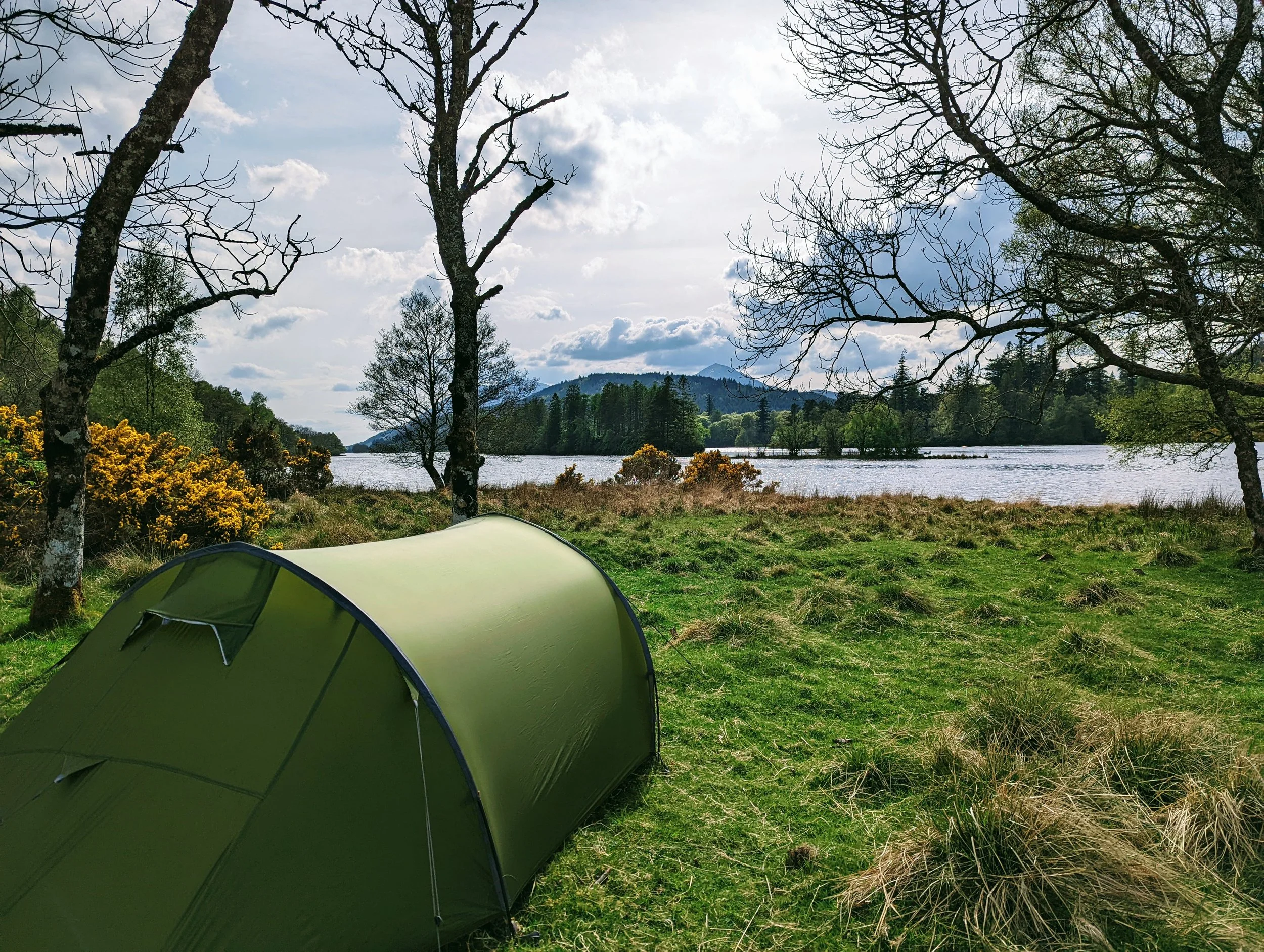
Leiterfearn wild camping ground on the south shore of Loch Oich
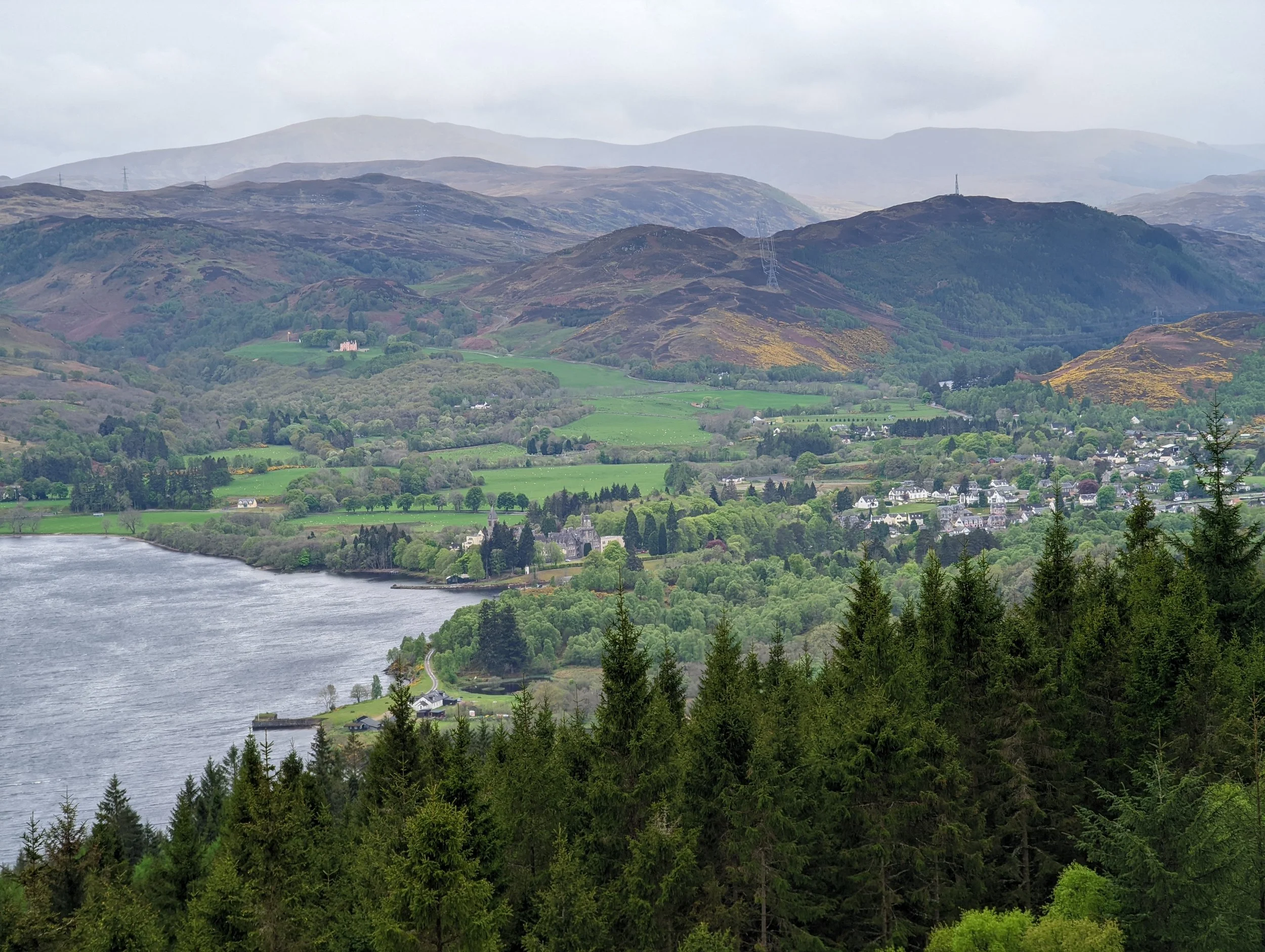
Fort Augustus, known as the gateway to Loch Ness, is a hillside town with a series of five lock gates that step down to a dramatic viewpoint across the water. On a clear day it attracts hordes of tourists hungry for a glimpse of the legendary monster, but by the time I got there the next morning, there was nothing to see. If Nessie was out there, she was safely obscured by the heavy rain that had blighted what should have been a pleasant – if nondescript – six miles along the Caledonian canal into the town. Soaked through, I warmed up at the Loch Inn – at last, the hearty pub lunch I’d been craving.
From Fort Augustus, the trail splits into low and high routes to Invermoriston, then again from Invermoriston to Drumnadrochit. At the exact point where the trail diverges, I stopped to chat to a couple travelling in the opposite direction. Keen to leave the low-lying paths behind, I readily took their advice and chose the high ways. They were right: it was well worth the effort. Having reached an elevation of just 100m so far, the trail quickly turned epic as it topped 300m. I climbed through mossy forest that was teeming with waterfalls and jungly ferns, clocking a number of what would have been excellent wild camping spots on my way up. Above the treeline the trail twists and turns, up and down through open moorland, offering sweeping views over the shimmering Ness.
Where was everyone? After miles of busy towpaths filled with weekend cyclists, and people parked in lochside lay-bys, taking pictures on their phones before speeding off into the distance, the emptiness took me by surprise. Between rising above the forest and dropping steeply down again into Invermoriston, I didn’t see a soul. It’s a privilege earned by being willing to put your legs through the mill and battle the bracing winds of the exposed hillside.
Looking back over Fort Augustus, from the high route to Invermoriston
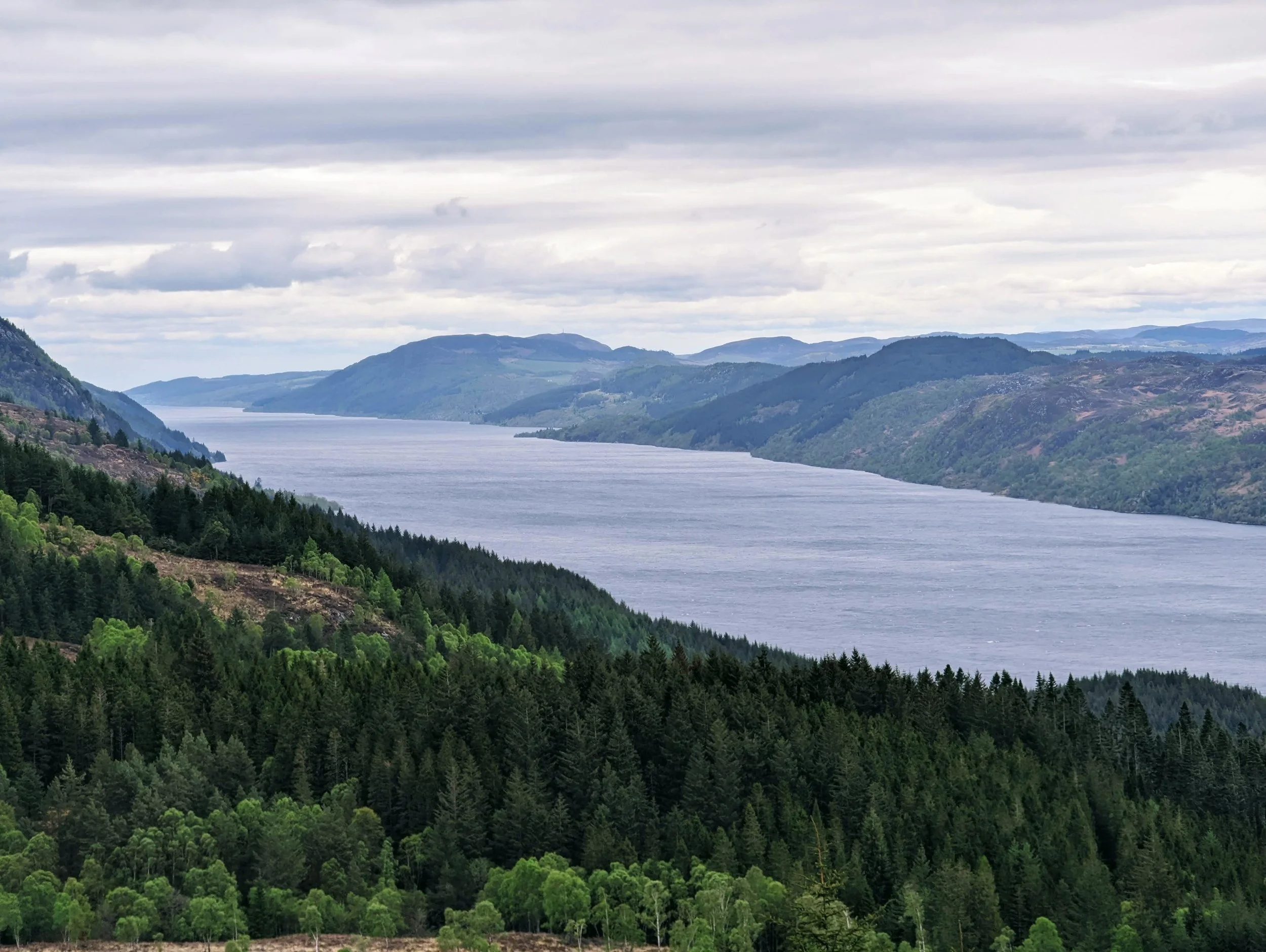
Moody views over Loch Ness
After Invermoriston, the trail rises steeply again through woodland, which was carpeted in primrose, cuckoo flower and dog violet. I found a clearing to camp for the night as the winds picked up and the pines creaked alarmingly as they swayed from side to side. Around me, fallen trees were a reminder that camping doesn’t always feel cosy and safe. As I tried to sleep, I couldn’t stop thinking how tragic it would be to die that way; how mortifying it would be for my boyfriend to have to tell people that’s how I kicked the bucket.
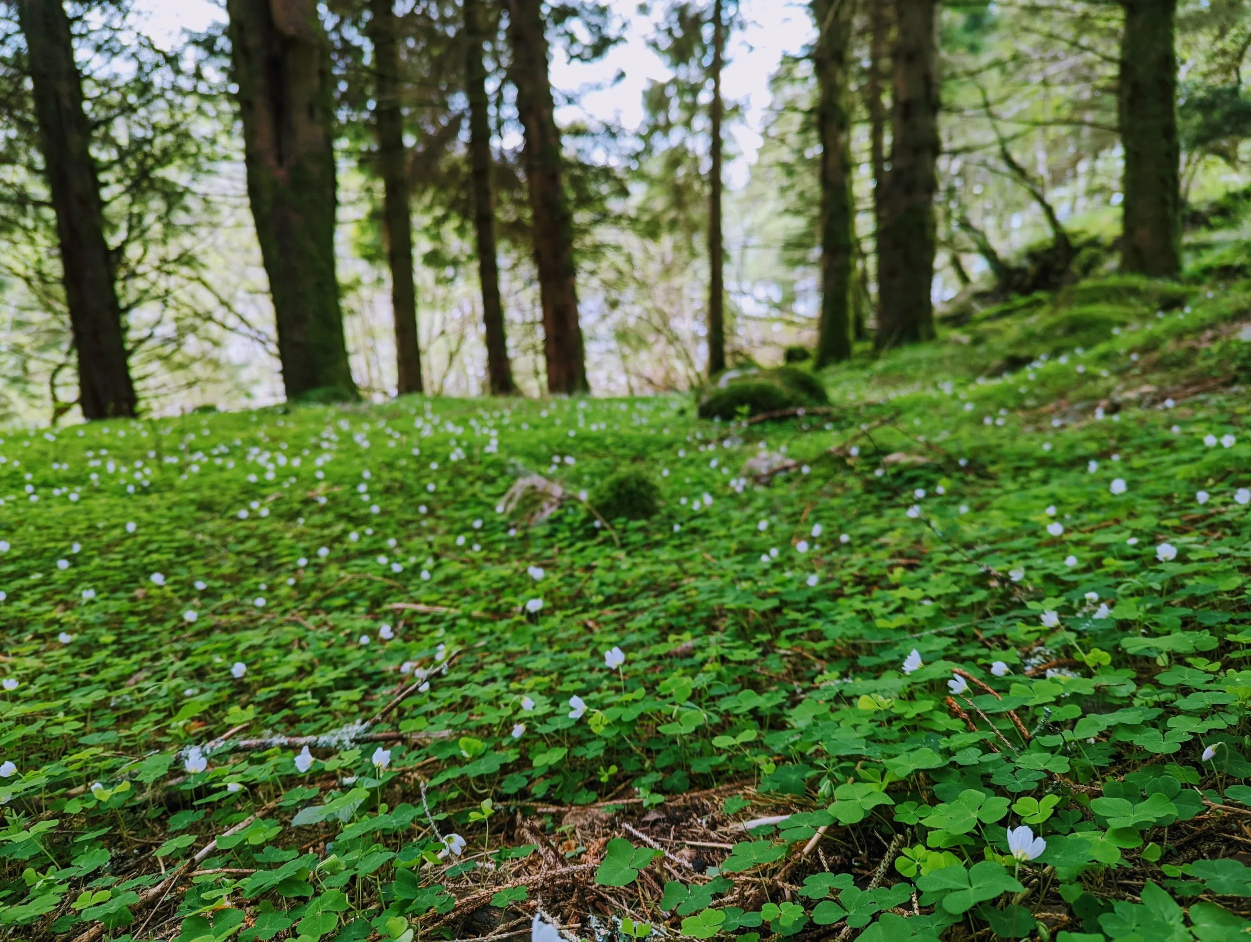
The forest floor carpeted in cuckoo flower
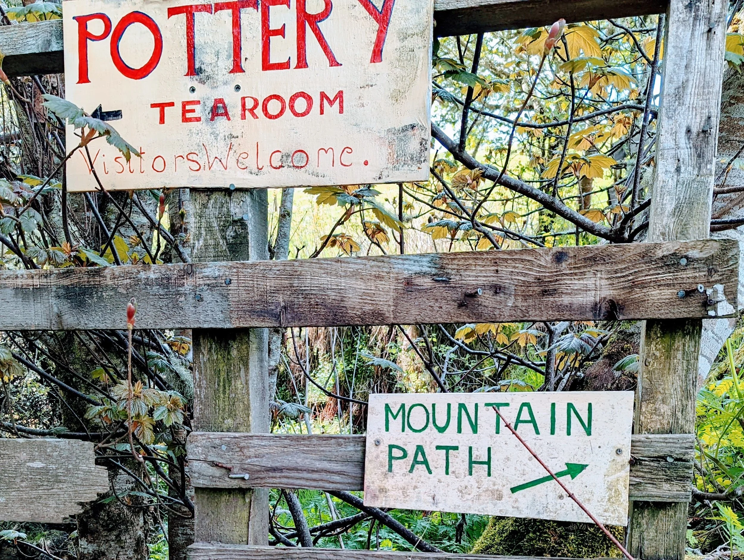
Fortunately I didn’t get bifurcated by a Scots pine in the night, and survived the final 13 miles. These were hood-on-hood-off kind of miles, and I found shelter from the downpours at the Loch Ness Clay Works, a ramshackle pottery in the tiny hamlet of Grotaig. I stepped into its cafe, where a cat was basking in the warmth of the crackling woodburning stove, and was greeted by a room of curious faces, all keen to understand how this bedraggled, hungry woman carrying a rucksack so big it towered above her head had wound up here. Sometimes it’s hard to explain to people, but I joined a group of older women who were exploring the Highlands on their annual holiday together, and they got it. We chatted for an hour, sharing the sort of intricate details about our lives back home that always feels strangely natural for women who have never met before.
I bought a couple of hand-turned espresso cups – just about small enough to fit in my pack and the only things I could trust myself not to break – and left restored, cheeks rosy from the fire and belly full of tea, coffee and two extremely good cakes.
Walking through the damp forest to Drumnadrochit that afternoon felt intensely nourishing – like I could actually taste the oxygen. It was lush, with lichen everywhere. Sometimes I think a simple walk in the woods is the best thing ever.
And sometimes I think the same about a pub. Huddled in a corner of the Loch Ness Inn, less than a mile from the bus stop where I would start my journey back to London, I knocked back a peaty 14-year Oban and began planning my return to the Great Glen. Perhaps I could canoe it next time?
The GGW wasn’t the most spectacular walk I’ve done, nor the most interesting, nor the most challenging. But it had its own magic. I don’t know if it was the relief of relative safety, the wonderful wild pitches, the varied scenery or the terrific people I met along the way… But I guess that’s the thing. If I knew what it was, it wouldn’t be magic.
From my pitch at Clunes on Loch Lochy